


distance-vector
Distance
79 miles / 127 km
distance-vector
Duration
6 days (walking) or 2–3 days (cycling)
distance-vector
Route
Fort William → Inverness
distance-vector
Difficulty
Moderate
distance-vector
Best Season
May – October
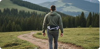
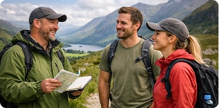
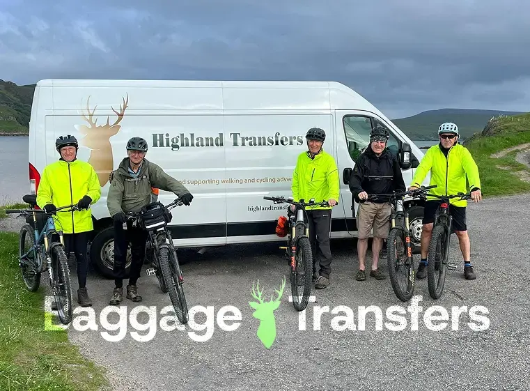
Let us take the weight off your shoulders.
We carry the heavy bags while you enjoy the journey. You carry only what you need for the day — giving your body and mind the space to actually enjoy the Highlands.
- Ride with a light daypack only: Carry only essentials like water, layers, and snacks.
- No heavy gear: We haul your luggage over the tough climbs so you don’t have to.
- Flexible itineraries: Built for your pace, whether you are walking, running, or cycling.
Baggage Transfer Rules
Max 20kg per bag • Ready by 9am • Delivered by 4pm
Ride with a light daypack
Carry only essentials — water, snacks, and waterproofs for the climb up the Great Glen Way.
No heavy gear
Your luggage arrives at your accommodation — from Fort Augustus to Inverness — before you do.
Flexible, personal itineraries
Choose between a 3-day cycling challenge or a 6-day walking adventure — we adapt to your needs.
Local support when you need it
Our Highland Transfers team is always available if you need assistance during your adventure.
Ride the Badger Divide
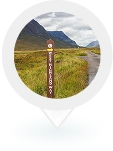
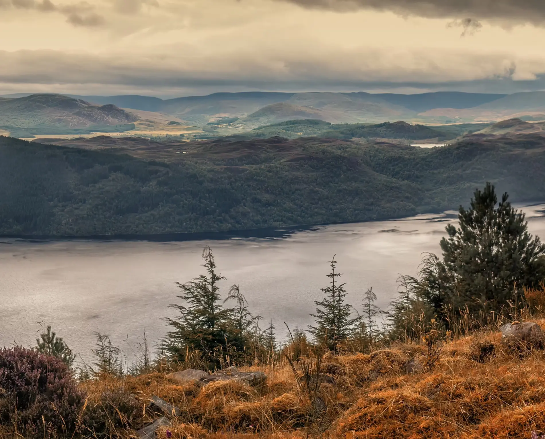
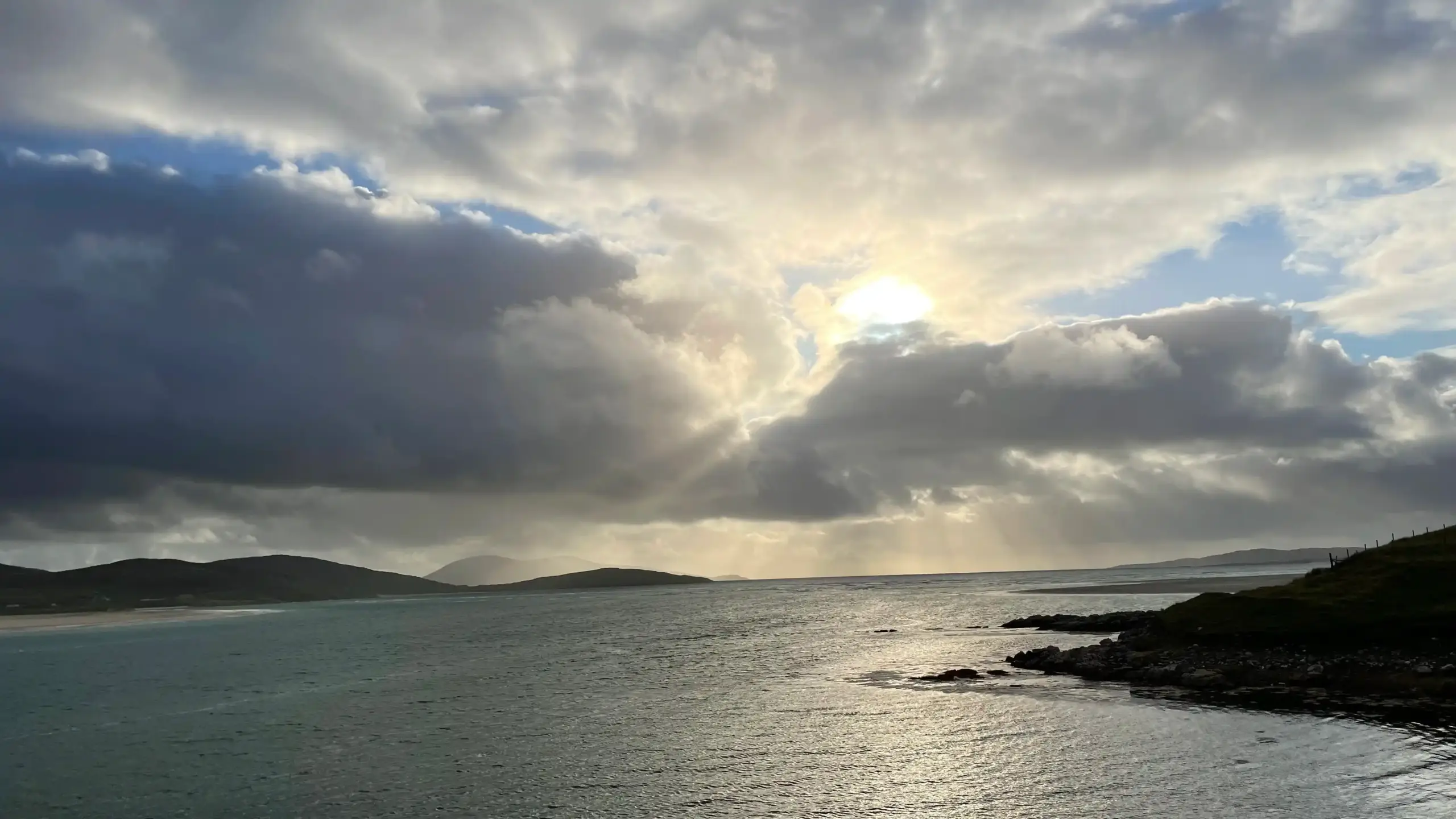
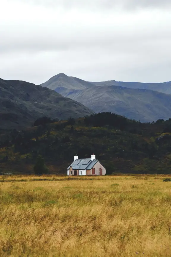
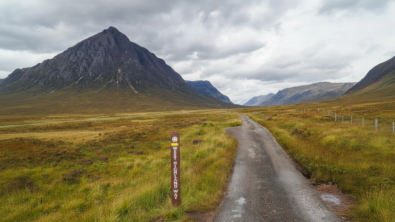
The Great Glen Way is Scotland’s premier coast-to-coast trail, offering a magnificent journey through the geological heart of the Highlands. Stretching approximately 79 miles (127 km) from the shadow of Ben Nevis in Fort William to the historic streets of Inverness, this route follows the Great Glen Fault—a natural landscape of vast lochs and dramatic ridges that carves a path through some of the country’s most iconic scenery.
The trail provides a diverse mix of canal-side towpaths, ancient woodland tracks, and elevated forest roads. From the engineering marvels of the Caledonian Canal locks at Fort Augustus to the legendary, mist-covered shores of Loch Ness and the high-level vistas above Drumnadrochit, the route offers a perfect balance of serene waterscapes and rugged mountain beauty. It is an immersive Highland experience that captures the true essence of Scotland’s wilderness and heritage.
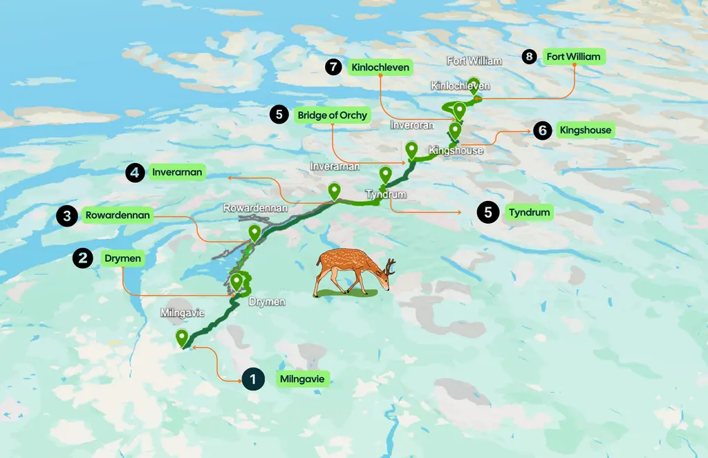
Route Stops
- 1 Fort William (Start)
- 2 Gairlochy
- 3 Laggan Locks
- 4 Fort Augustus
- 5 Invermoriston
- 6 Drumnadrochit
- 7 Inverness (Finish)
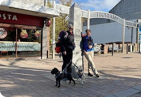
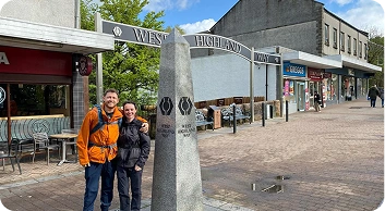
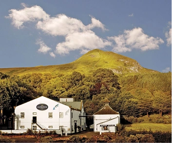
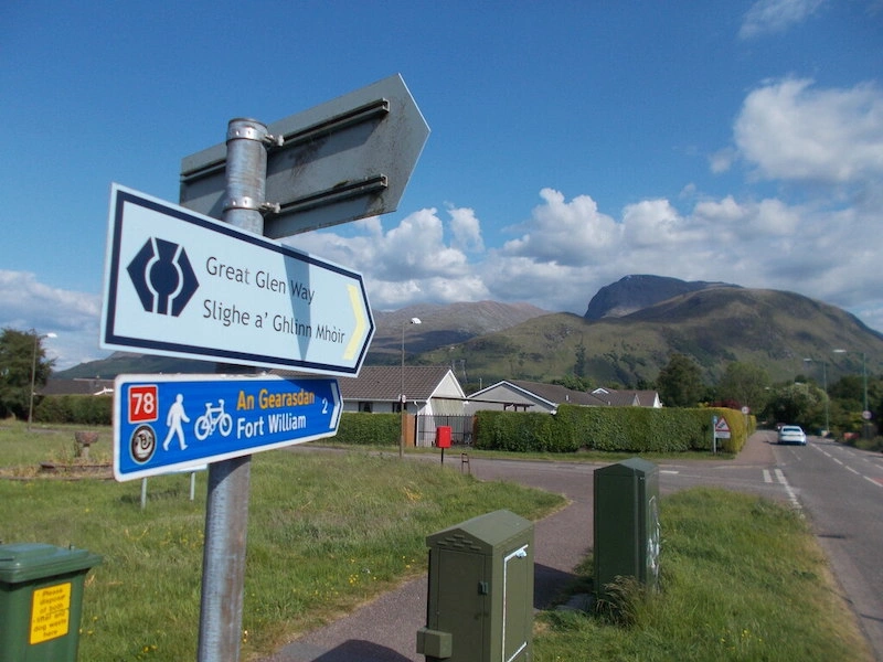
Fort William
Gateway to the West Highland Way
Milngavie marks the official starting point of the West Highland Way. Just a short train ride from Glasgow, this leafy town offers an easy, well-connected start — perfect for easing into the adventure ahead. The trail begins gently, winding through peaceful parkland and open countryside beneath the Campsie Fells.
ExploreMilngavie is an ideal place to stay the night before your walk, giving you a fresh and stress-free start on day one.
12 miles / 19 km
Interactive Route
Great Glen Way Route Map
Tap each stop to see distances, terrain & accommodation zones.
Packages & Journeys
Your Next Unforgettable Adventure
Discover breathtaking landscapes and curated experiences crafted for the modern explorer.

The 2026 season runs from 22 March to 19 October.
offering self-guided walking and cycling holidays.

Want something different?
We design custom walking & cycling adventures across the Scotland — built around your pace, preferences, and dates.


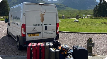
Reliable Baggage Transfers Along the Great Glen Way
ou don’t need a full package to enjoy the Great Glen Way at its best. If you already have accommodation booked—from Gairlochy to Fort Augustus or Drumnadrochit—Highland Transfers’ baggage-only service lets you journey through the Highlands with nothing more than a light daypack. We move your luggage safely through the geological heart of the country while you focus on the trail. Whether you are walking the canal paths or cycling the high-level forest tracks, we handle the logistics so you can embrace the coast-to-coast experience.
Each morning, leave your bag with your host by 9am. Each afternoon, arrive to find it waiting for you at your next stop, whether it’s a loch-side guest house or a city hotel in Inverness. No heavy gear to haul over the elevated ridges above Loch Ness. No logistical stress on the long journey from Fort William. Just steady progress and the freedom to enjoy the incredible scenery of the Caledonian Canal and beyond. Our baggage transfer service is trusted by travelers for every type of Scottish adventure and is designed to work seamlessly across the entire 79-mile route.
Day-by-Day Walking Plan
Select your preferred itinerary to see what each day has in store.
Select a package above to see your detailed itinerary
6-Day Great Glen Way
A more relaxed, immersive experience
- Start your journey at the foot of Ben Nevis, following the Caledonian Canal out of Fort William.
- Pass the famous Neptune’s Staircase, an impressive flight of eight canal locks that lift boats 64 feet.
- Enjoy easy, level walking with stunning views of the surrounding mountains as you approach the tranquil area of Gairlochy.
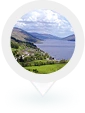
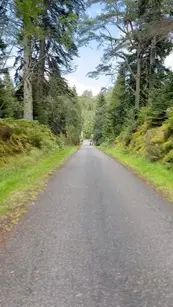
- Walk along the scenic eastern shores of Loch Lochy, staying mostly on well-maintained forestry tracks.
- Experience deep woodland immersion with occasional glimpses of the water and the peaks of the Grey Corries.
- Reach Laggan Locks, a peaceful stopping point situated between two major lochs in the heart of the Glen.
- Follow the track of a dismantled railway line along the shores of Loch Oich, providing a smooth and flat walking surface.
- Pass through the Kytra Loch and enjoy the calm waters of the canal as you head toward the most popular village on the route.
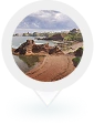
- Finish the day in Fort Augustus, where you can watch boats navigate the famous staircase of locks into Loch Ness.
- Tackle the shortest day of the route, which begins with a steady climb out of Fort Augustus to gain elevation.
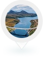
- Enjoy your first high-level views of Loch Ness, looking down over the mysterious deep blue waters.
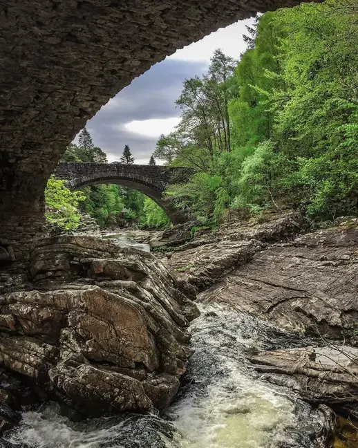
- Descend through the woods into the charming village of Invermoriston, known for its historic stone bridge.
- Choose between the low-level forest track or the more challenging High Route for spectacular panoramic views.
- Traverse deep forest sections and open moorland as the trail winds high above the shoreline of Loch Ness.
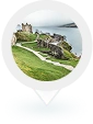
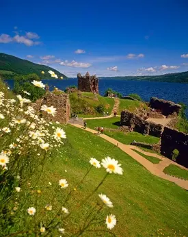
- Descend into Drumnadrochit, the “Monster Hunting” capital, with views of the historic ruins of Urquhart Castle.
- Prepare for the longest day of the journey, starting with a significant climb through the Abriachan woods.
- Cross high moorland and enjoy the final, expansive views of the Moray Firth and the mountains to the north.
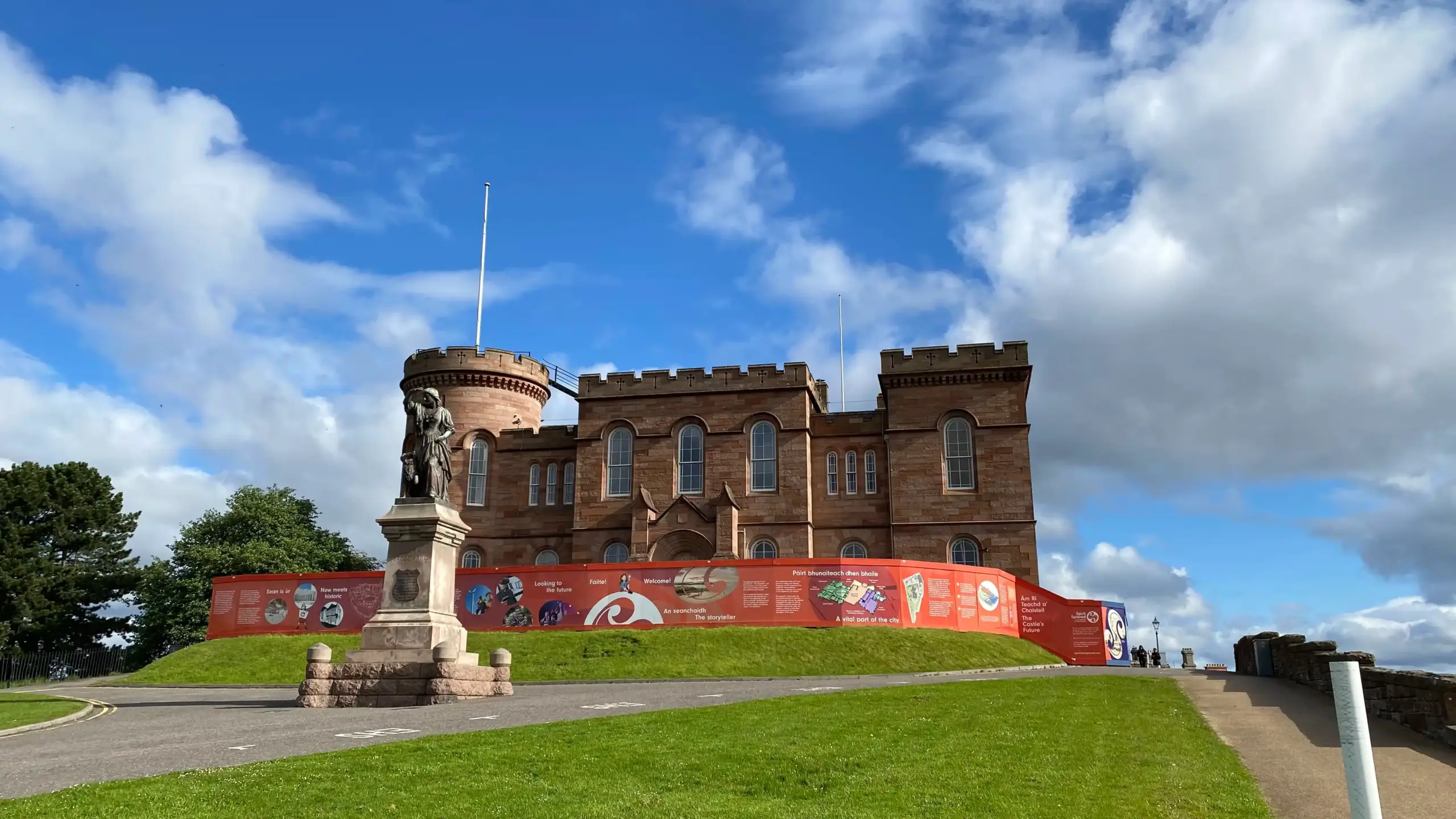
- Walk the final miles down into the Highland capital, finishing your 79-mile trek at the gates of Inverness Castle.
About Highland transfers
Why Travellers
Trust Highland Transfers
We offer carefully curated destinations and tours that capture
the true essence of location, ensuring you experience.
12K+
Bags moved every season

Experts of Scotlands Trails

Carbon-Conscious Company

Hundreds of 5-star Reviews
15+Years
Experience in Scottish routes

Effortless Luggage Transfers

Support When You Need It

Accommodation Planning
The Route at a Glance
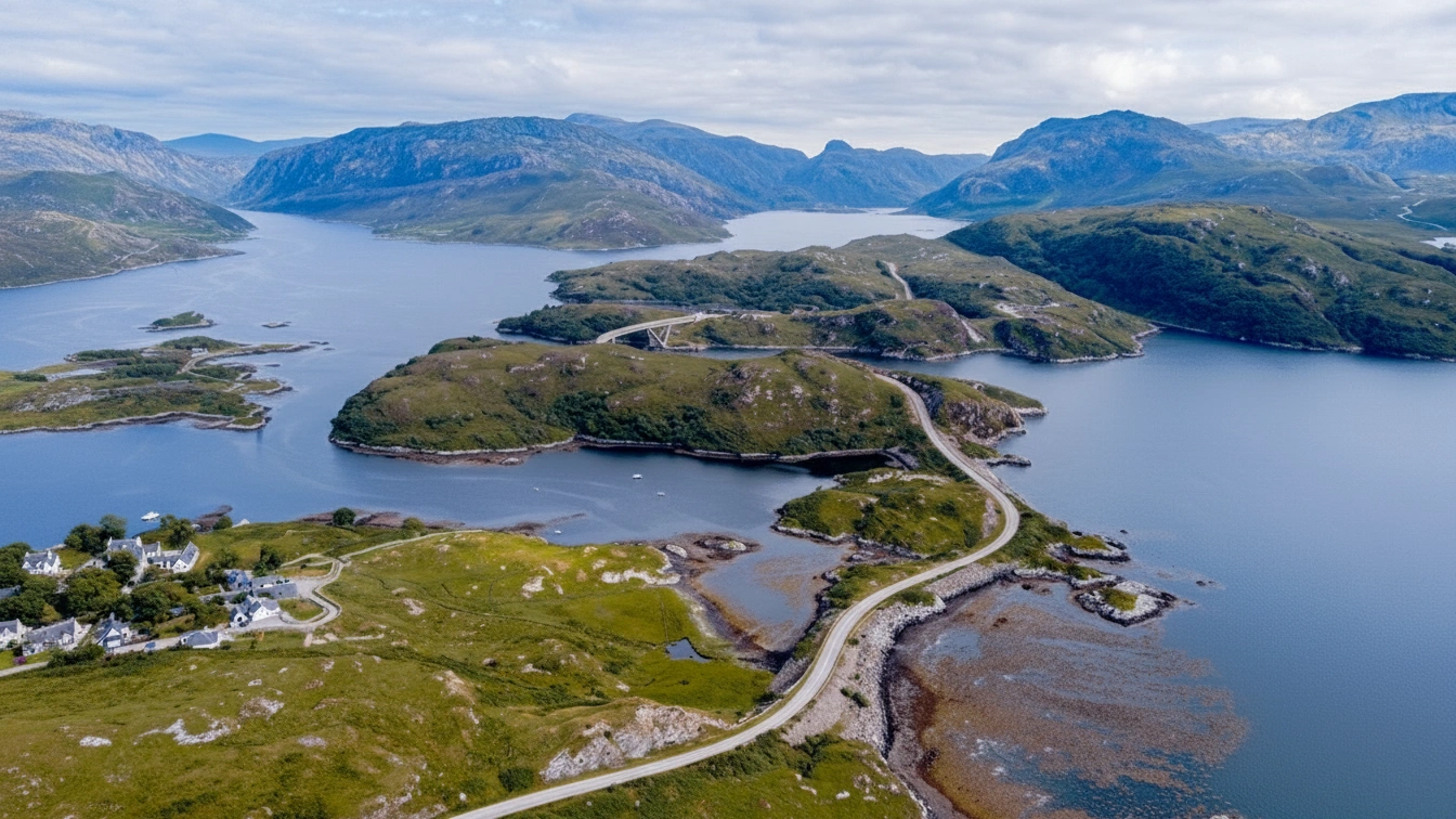
The adventure begins in Fort William, where you’ll ease into the journey along the tranquil towpaths of the Caledonian Canal. Early highlights include the engineering marvel of Neptune’s Staircase and the peaceful shores of Loch Lochy as you navigate well-marked paths toward the scenic hub of Laggan Locks.
As the trail continues north, the Highland scenery becomes truly iconic. You’ll track the world-famous banks of Loch Ness, choosing between gentle shoreline paths or the challenging high-level forest tracks that offer birds-eye views of the water. After passing through the charming woodland of Invermoriston and the monster-hunting territory of Drumnadrochit, the route climbs one last time through the Nevis Forest for a grand entry into the Highland capital.
Top Tip :
In Inverness, don’t miss the official finish-line photo at Inverness Castle—it’s the perfect place to look back over the River Ness and celebrate your coast-to-coast achievement.

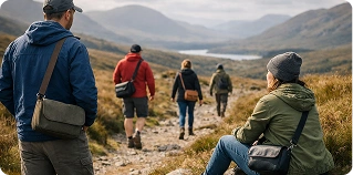
Trusted by Walkers & Cyclists Worldwide
Your adventure matters — that’s why we handle the details, support you on the
journey, and make exploring Scotland simple, safe and unforgettable.
icon
Great Glen Way Articles
Handpicked guides by our experts
 Your Guide
Should I be worried about Scotland’s midges?
 Tour Guide
What is the Great Glen Way like for walkers?
Common questions
Frequently asked questions
How long does it take to complete the Great Glen Way?
For walkers, the route is typically completed in 6 days, averaging about 20km (12 miles) per day. For cyclists, it usually takes 2 to 3 days depending on fitness and whether you choose the high-level or low-level forest tracks.
What is the best time of year to walk or cycle the route?
The best season is from May to October. May and September are particularly popular as the weather is often cooler and the “midges” (small biting insects) are less active than in the peak of summer.
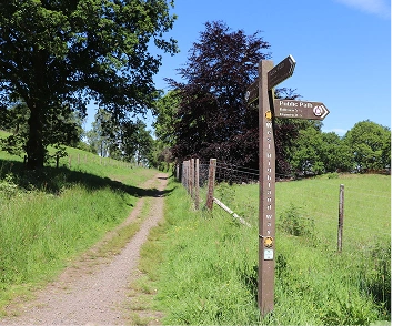
Is the route well-marked?
Yes, the Great Glen Way is one of Scotland’s Great Trails and is very well-signposted with the blue thistle logo. However, we always recommend carrying a map or a GPS device, especially for the high-level sections between Fort Augustus and Drumnadrochit.
If you didn’t find the answer you were looking for, don’t hesitate to reach out!