


distance-vector
Distance
79 miles / 127 km
distance-vector
Duration
7 days (walking) or 3–4 days (cycling)
distance-vector
Route
Drymen → Pitlochry
distance-vector
Difficulty
Moderate
distance-vector
Best Season
May – October
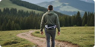
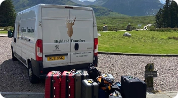
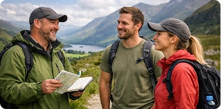
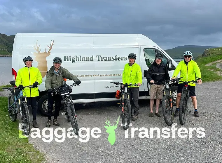
Let us take the weight off your shoulders.
We carry the heavy bags while you enjoy the journey. You carry only what you need for the day — giving your body and mind the space to actually enjoy the historic trails of Perthshire and the Trossachs.
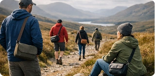
- Walk or Ride with a light daypack only: Carry only essentials like water, layers, and snacks for the journey through the glens.
- No heavy gear: We haul your luggage over the hills and forest tracks so you can enjoy the views of Loch Tay and Ben Lawers without the extra weight.
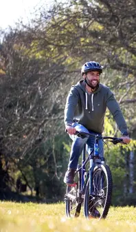
- Flexible itineraries: Built for your pace, whether you are walking the full 7-day trail or cycling a faster 3-day adventure.
Baggage Transfer Rules
Max 20kg per bag • Ready by 9am • Delivered by 4pm
Walk with a light daypack
Carry only essentials — water, snacks, and waterproofs for the beautiful climbs over the moorland to Pitlochry.
No heavy gear
Your luggage arrives at your accommodation — from Aberfoyle to Killin and Aberfeldy — before you do.
Flexible, personal itineraries
Choose between a 4-day cycling challenge or a 7-day walking adventure — we adapt to your needs.
Local support when you need it
Our Highland Transfers team is always available if you need assistance during your adventure through the heart of Scotland.
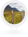
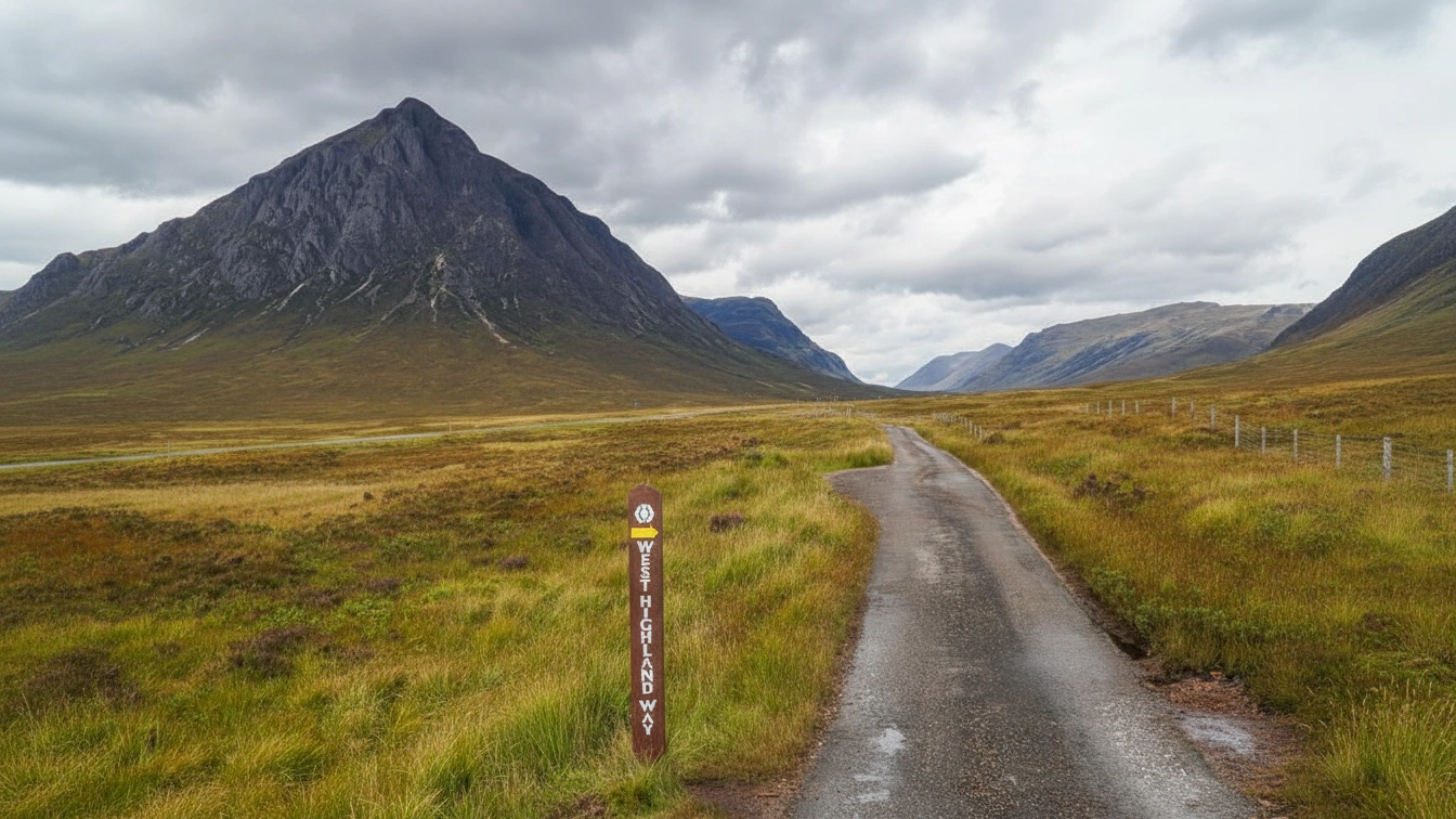
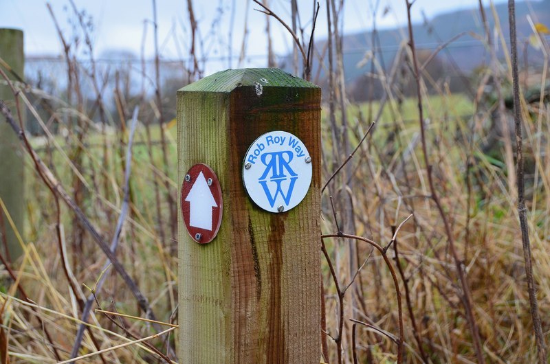
Ride the Rob Roy Way
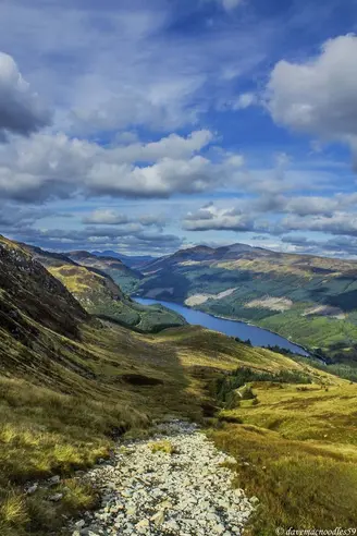
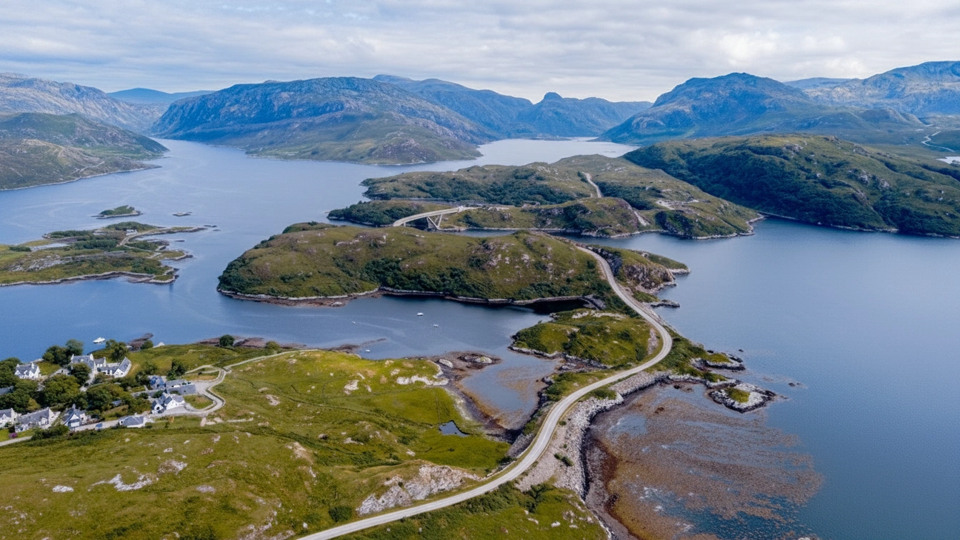
The Rob Roy Way is one of Scotland’s most beloved long-distance trails, tracing the footsteps of the legendary outlaw Rob Roy MacGregor through the historic heart of the Trossachs and Perthshire. Spanning approximately 79 miles (127 km) from the village of Drymen to the Victorian spa town of Pitlochry, this route offers a captivating journey through a landscape steeped in clan history, hidden glens, and shimmering lochs.
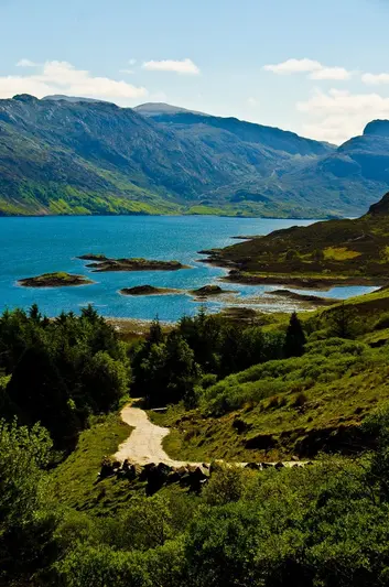
The route weaves together an enchanting mix of ancient drove roads, abandoned railway paths, and high-level forest tracks. From the dramatic white-water cascades of the Falls of Dochart in Killin to the serene, mirrored waters of Loch Tay and the rugged moorland crossings near Aberfeldy, the landscape is constantly shifting between lush woodlands and open Highland vistas. It is a deeply atmospheric experience that connects travelers to the wild spirit and heritage of central Scotland.
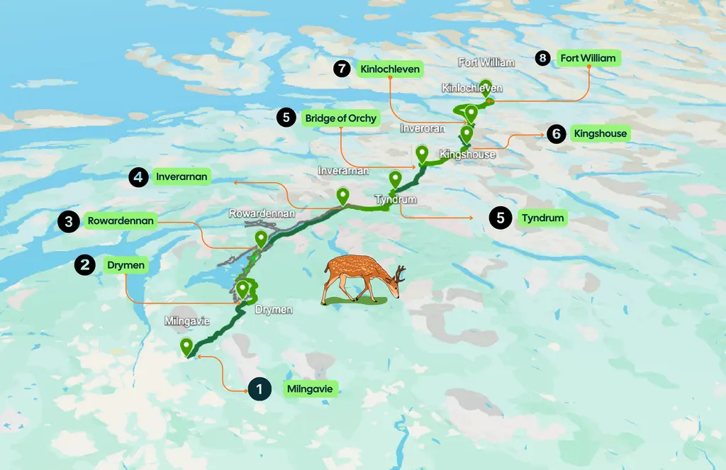
Route Stops
- 1 Drymen (Start)
- 2 Aberfoyle
- 3 Callander
- 4 Strathyre
- 5 Killin
- 6 Ardtalnaig
- 7 Aberfeldy
- 8 Pitlochry (Finish)
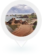
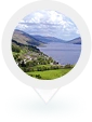
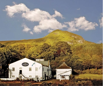
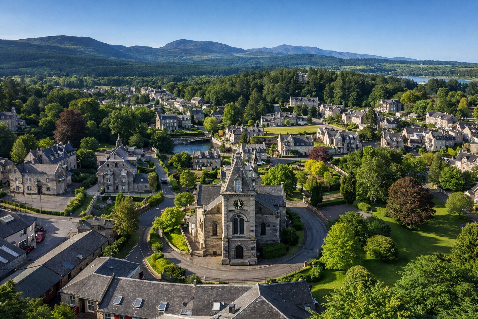
Drymen
The Gateway to Loch Lomond
Drymen is a welcoming village that marks the transition from the lowlands of Glasgow to the south-eastern corner of Loch Lomond. It is a popular first-night stop with traditional pubs and a friendly atmosphere.
ExploreDrymen is an ideal place to stay the night before your walk begins to ensure a fresh, stress-free start on day one.
11km / 7 miles
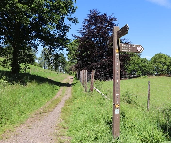
Interactive Route
Rob Roy Way Route Map
Tap each stop to see distances, terrain & accommodation zones.
Packages & Journeys
Your Next Unforgettable Adventure
Discover breathtaking landscapes and curated experiences crafted for the modern explorer.

The 2026 season runs from 22 March to 19 October.
offering self-guided walking and cycling holidays.

Want something different?
We design custom walking & cycling adventures across the Scotland — built around your pace, preferences, and dates.


Reliable Baggage Transfers Along the Rob Roy Way
You don’t need a full package to enjoy the Rob Roy Way at its best. If you already have accommodation booked—from Aberfoyle and Callander to Strathyre or Killin—Highland Transfers’ baggage-only service lets you journey through the glens with nothing more than a light daypack. We move your luggage safely through the historic heart of the Highlands while you focus on the trail. Whether you are walking the forest paths or cycling the Glen Ogle viaduct, we handle the logistics so you can embrace the legendary experience.
Each morning, leave your bag with your host by 9am. Each afternoon, arrive to find it waiting for you at your next stop, whether it’s a cozy village inn or a grand hotel in Pitlochry. No heavy gear to haul over the high pass above Loch Tay. No logistical stress on the journey from Drymen. Just steady progress and the freedom to enjoy the incredible scenery of the Trossachs and beyond. Our baggage transfer service is trusted by travelers for every type of Scottish adventure and is designed to work seamlessly across the entire 79-mile route.
Day-by-Day Walking Plan
Select your preferred itinerary to see what each day has in store.
Select a package above to see your detailed itinerary
7-Day Rob Roy Way
A more relaxed, immersive experience
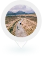
- Start your journey in the charming village of Drymen, heading north through the peaceful forestry of the Queen Elizabeth Forest Park.
- Enjoy a steady climb that rewards you with early views of the Trossachs mountains and the distant Ben Lomond.
- Descend into the “Faerie Village” of Aberfoyle, a perfect spot to rest and enjoy the local Highland hospitality.
- Leave Aberfoyle behind as you climb through the Menteith Hills, offering expansive views over the Carse of Stirling.
- Pass by the quiet shores of Loch Venachar and follow the Menteith forest tracks used for centuries by Highlanders.
- Finish the day in Callander, a bustling gateway town known for its dramatic backdrop of the Callander Crags.
- Follow the easy, level path of a dismantled railway line (Cycle Route 7) through the narrow Pass of Leny.
- Walk the entire length of the western shore of Loch Lubnaig, where the mountains rise steeply from the water’s edge.
- Arrive in the sheltered village of Strathyre, nestled deep within the trees of the surrounding forest.
- Tackle a steady climb out of Strathyre, heading toward the high-altitude pass of Glen Ogle.
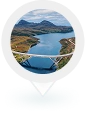
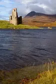
- Walk across the massive stone arches of the Glen Ogle Viaduct, offering bird’s-eye views of Loch Earn.
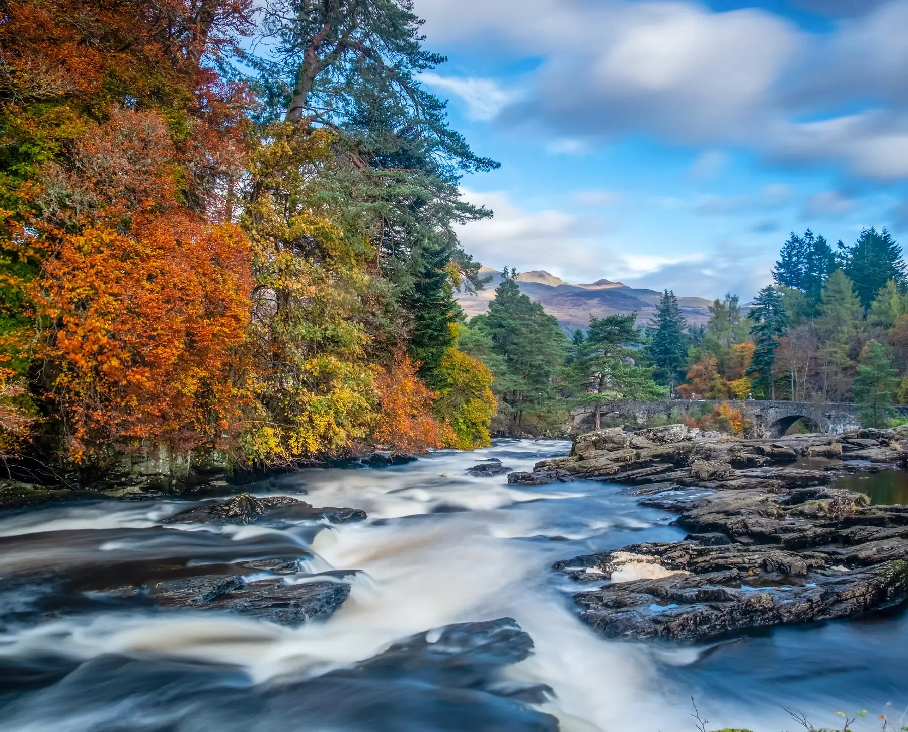
- Descend into Killin, where you can hear the roar of the famous Falls of Dochart as you enter the village.
- Leave the valley for the most challenging climb of the route, heading toward the remote Lochan Breachlaich.
- Reach the highest point of the Rob Roy Way, offering panoramic 360-degree views of the Ben Lawers range.
- Descend toward the quiet southern shores of Loch Tay to reach the small, peaceful hamlet of Ardtalnaig.
- Follow a scenic ridge walk high above Loch Tay, passing through remote farmland and ancient stone circles.
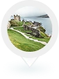
- Descend through the spectacular “Birks of Aberfeldy,” a deep gorge filled with waterfalls and birch trees.
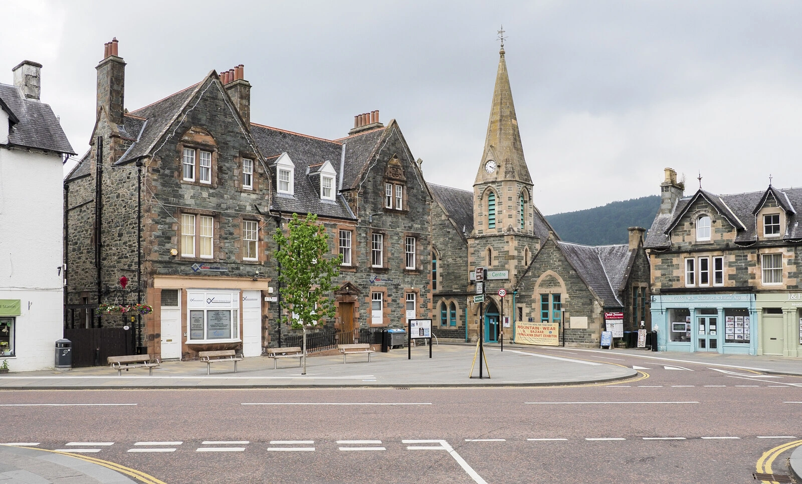
- Enter the historic town of Aberfeldy, home to the famous Black Watch monument and Wade’s Bridge.
- Cross the River Tay and climb over the open moorland between the Strathtay and Tummel valleys.
- Pass through the dense Fonab Forest before catching your first glimpse of the Victorian town of Pitlochry below.
- Finish your 79-mile journey at the Pitlochry War Memorial, celebrating your achievement in one of Scotland’s most beautiful towns.
About Highland transfers
Why Travellers
Trust Highland Transfers
We offer carefully curated destinations and tours that capture
the true essence of location, ensuring you experience.
12K+
Bags moved every season

Experts of Scotlands Trails

Carbon-Conscious Company

Hundreds of 5-star Reviews
15+Years
Experience in Scottish routes

Effortless Luggage Transfers

Support When You Need It

Accommodation Planning
The Route at a Glance
The adventure begins in Drymen, where you’ll ease into the journey through pleasant forestry trails that lead you into the heart of the Trossachs. Early highlights include the enchanting Loch Ard Forest and the scenic Menteith Hills as you navigate waymarked paths toward the vibrant outdoor hubs of Aberfoyle and Callander.
As the trail continues north, the landscapes grow more historic and dramatic. You’ll track the western shores of Loch Lubnaig, cross the spectacular Glen Ogle Viaduct, and climb to the route’s highest point above Killin for panoramic views of the Ben Lawers range. After following the serene southern banks of Loch Tay and passing through the poetic Birks of Aberfeldy, the route carries you across open moorland and through ancient forests for a grand arrival into Perthshire.
Top Tip :
In Pitlochry, don’t miss the chance to visit the famous fish ladder and dam—it’s the perfect spot to reflect on your 79-mile journey before celebrating your finish in one of Scotland’s most beautiful Victorian towns.

Trusted by Walkers & Cyclists Worldwide
Your adventure matters — that’s why we handle the details, support you on the
journey, and make exploring Scotland simple, safe and unforgettable.
icon
Rob Roy Way Articles
Handpicked guides by our experts
 Your Guide
John Muir Way highlights and tips by walking friends Jane and Hayley
 Your Guide
9 great reasons to walk, run or cycle the Rob Roy Way
Common questions
Frequently asked questions
How long does it take to walk or cycle the Rob Roy Way?
For walkers, the 79-mile route is usually completed in 7 days, with daily distances ranging from 9 to 15 miles. Cyclists can typically complete the route in 3 to 4 days, as much of the trail follows the National Cycle Network Route 7.
How difficult is the Rob Roy Way compared to the West Highland Way?
The Rob Roy Way is generally considered moderate. While it has some climbs—most notably the ascent out of Killin to over 500m—it lacks the technical, rocky terrain found on the shores of Loch Lomond. It uses more forest tracks and old railway paths, making it a smoother experience.
What is the best time of year to travel?
The best window is May to October. Spring (May/June) offers beautiful bluebells and avoids the worst of the
If you didn’t find the answer you were looking for, don’t hesitate to reach out!